Download
Datasets, documentation and maps
COWZ-UK
| Datasets & Documentation | |
|---|---|
| COWZ-UK datasets and documentation are available for download from the Office for National Statistics area classifications webpages. | |
| Maps |
|---|
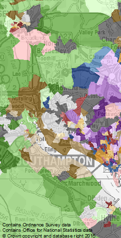
| Interactive maps of COWZ-UK are available from the Consumer Data Research Centre (CDRC) Maps facility. |
COWZ-EW
| Datasets | |
|---|---|
| COWZ-EW 2011 Classification (comma separated text) | (Click to download) |
| COWZ-EW 2011 Classification - GIS boundaries (ESRI Shapefile) | (Click to download) |
| COWZ-EW 2011 Classification - GIS styling rules (QGIS, ArcGIS and RGB) | (Click to download) |
| COWZ-EW 2011 Classification - WZ / Supergroup SED (comma separated text) | (Click to download) |
| Documentation | |
|---|---|
| COWZ-EW 2011 User Guide | (Click to download) |
| COWZ-EW 2011 Annex A: Supergroup profiles | (Click to download) |
| COWZ-EW 2011 Annex B: Group profiles | (Click to download) |
| Maps |
|---|
| Interactive maps of COWZ-EW are available from the Consumer Data Research Centre (CDRC) Maps facility. |